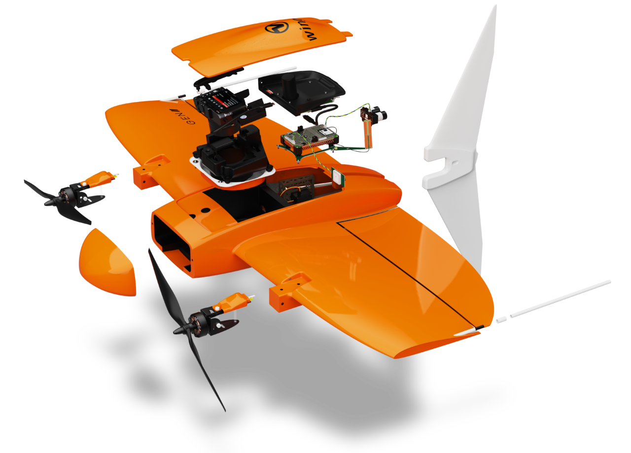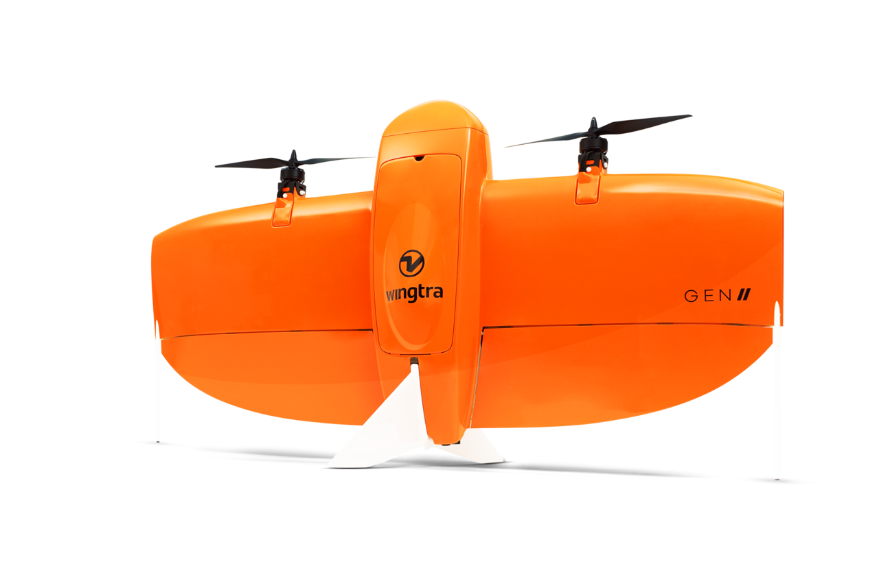

Pärast 6 aastast arendust ja üle 100 000 lennu… Wingtra One Gen II
- Mõõdista kättesaamatuid alasid
- Mõõdista kuni 400 ha ühe lennuga
- Suurenda ohutust automaatse vertikaalse stardiga
- 42 MP fotogrammetiline kaamera ja üliväikese moonutusega objektiiv
- Droon on disainitud ja projekteeritud nii,et suudab hästi kaitsta andureid ja hoiab seade kulumise eest.
- Maksimum lennukaugusega kuni 50 km on suurte projektide võimalikus käeulatuses.
- Täiesti uus OBLIQUE kaamera integratsioon parima 3D mõõdistuse tulemuseks
- PPK antenni ühilduvus kõikide kaameratega, ka multispektraal kaamera
- Kasutusel on uue põlvkonna elektroonika
- Drooni automaatne enda diagnostika, tõrkekindel algoritm ja teenused usaldusväärseks tööks ja palju veel…
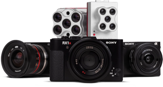
Ühe drooniga on võimalik kasutada erinevaid kaameraid:
- Sony RX1R II
- Sony a6100
- Sony a6100 Oblique
- MicaSense RedEdge-MX
- MicaSense Altum
Rohkem infot Wingtra One Gen II kohta wingtra.com kodulehelt ja kontakteerudes meiega hades@hades.ee
Surveying Applications of our customers
Surveying & GIS
Project planning
Construction Progress
Cadastral survey
Construction & Infrastructure
Bidding and pre-planning
Maintenance and asset inspection
As-built vs. as-design
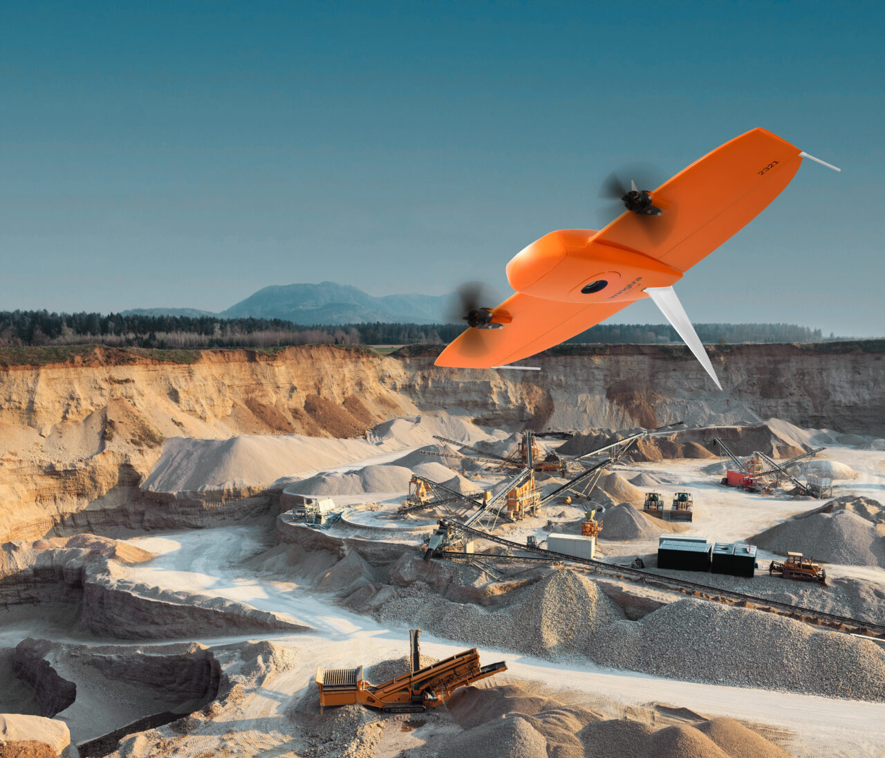
Mining & Aggregates
Pit & Dump Management
Stockpile Management
Assessment before and after drilling or blasting
Agriculture & Environment
Vegetation Health Analysis
Damage Assessment
Population Counting
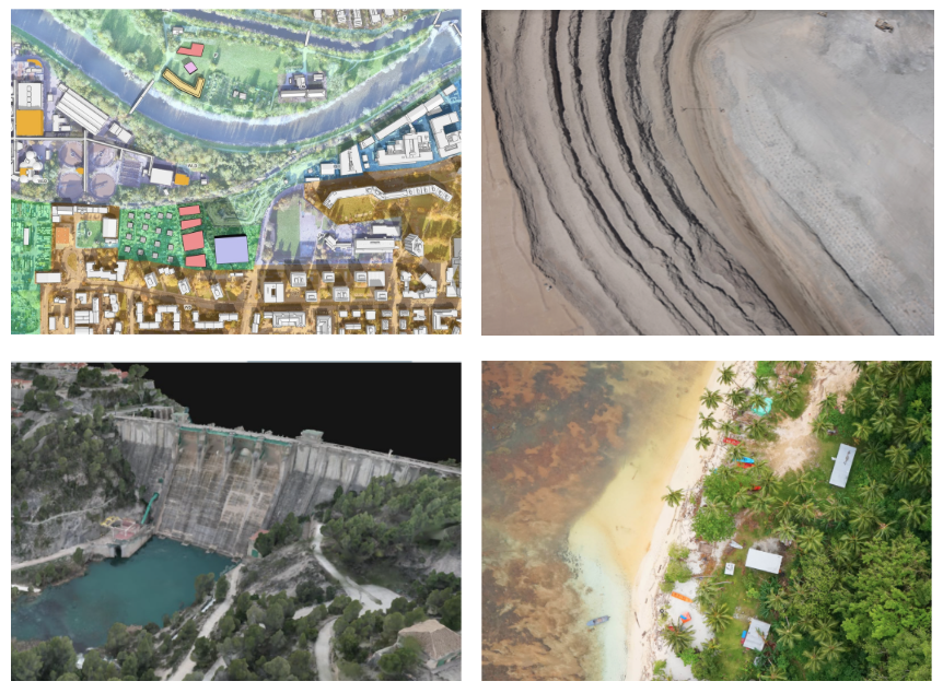
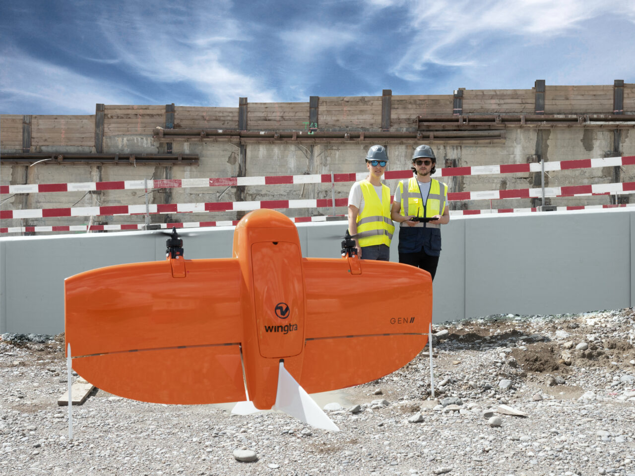
Map everywhere
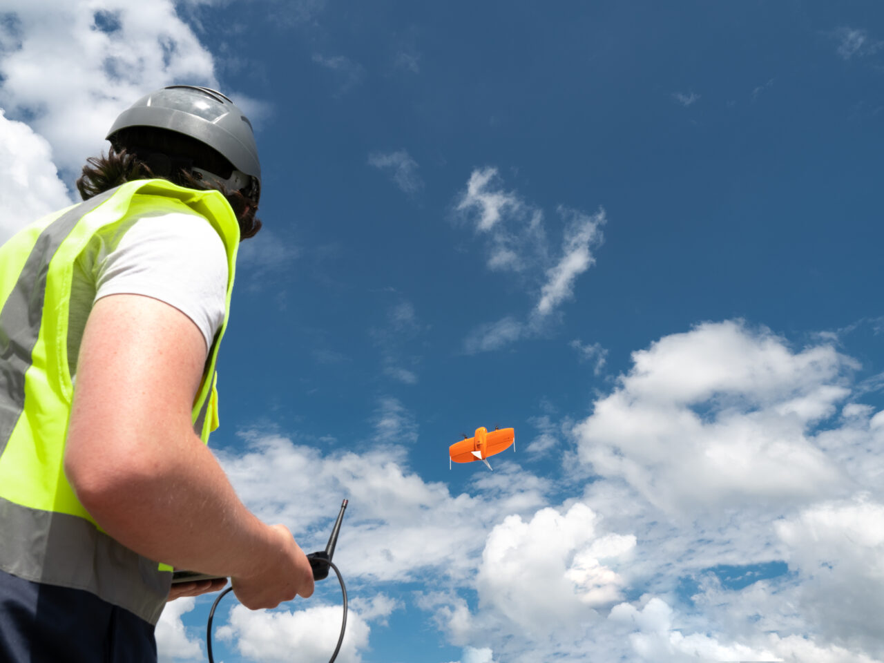
VTOL: Vertical take-off and landing
Land in confined areas like boats or forest lanes
Perform gentle and safe VTOL landings even on the most rocky grounds like open pit mines
Don’t damage the sensors or the plane
Adjust the landing spot in changing environment
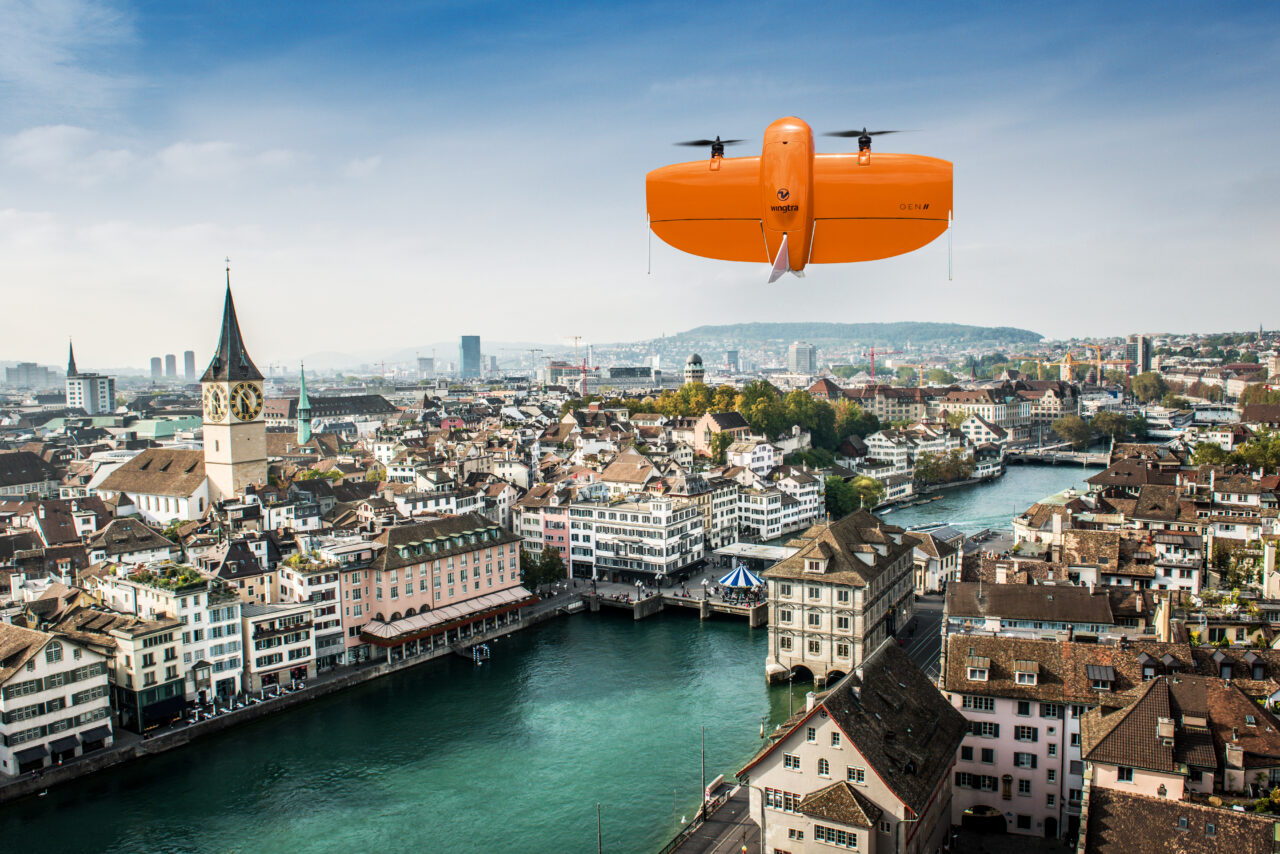
Cover large areas
High-resolution cameras:
Fly at a high altitude above the ground and still map large areas with low GSD
Fixed-wing design and flight time:
Complete large projects efficiently
Up to 59 min flight time
Map up to 400 ha in a one-hour flight
*Maximum flight time and coverage aries depending on payloads and environementals factors.
Most accurate and reliable output
PPK on every drone, for every payload
Together with the multi-frequency PPK GNSS receiver and our 42 MP sensor, WingtraOne delivers best-in-class absolute horizontal accuracy, down to 1 cm (0.4 in) without GCPs.*
Highly accurate measurements
By providing thousands of data points for one stockpile, drone surveys are far more accurate than surveying with total stations. They make it possible to reduce the deviation in stockpile volume calculations and to produce more accurate financial statements and regulatory checks.
A reliable workhorse
No matter the conditions, WingtraOne operates safely and delivers high-quality data, consistently.
+ Engineered and assembled in Switzerland
+ Sharp results, even in wind
+ Automated safety checks
+ Predictive self-diagnosis
+ Pre- and inflight monitoring of: Motors, Servos, Batteries, Cameras, PPK, Flight Sensors
WingtraPilot – Software for a smooth workflow
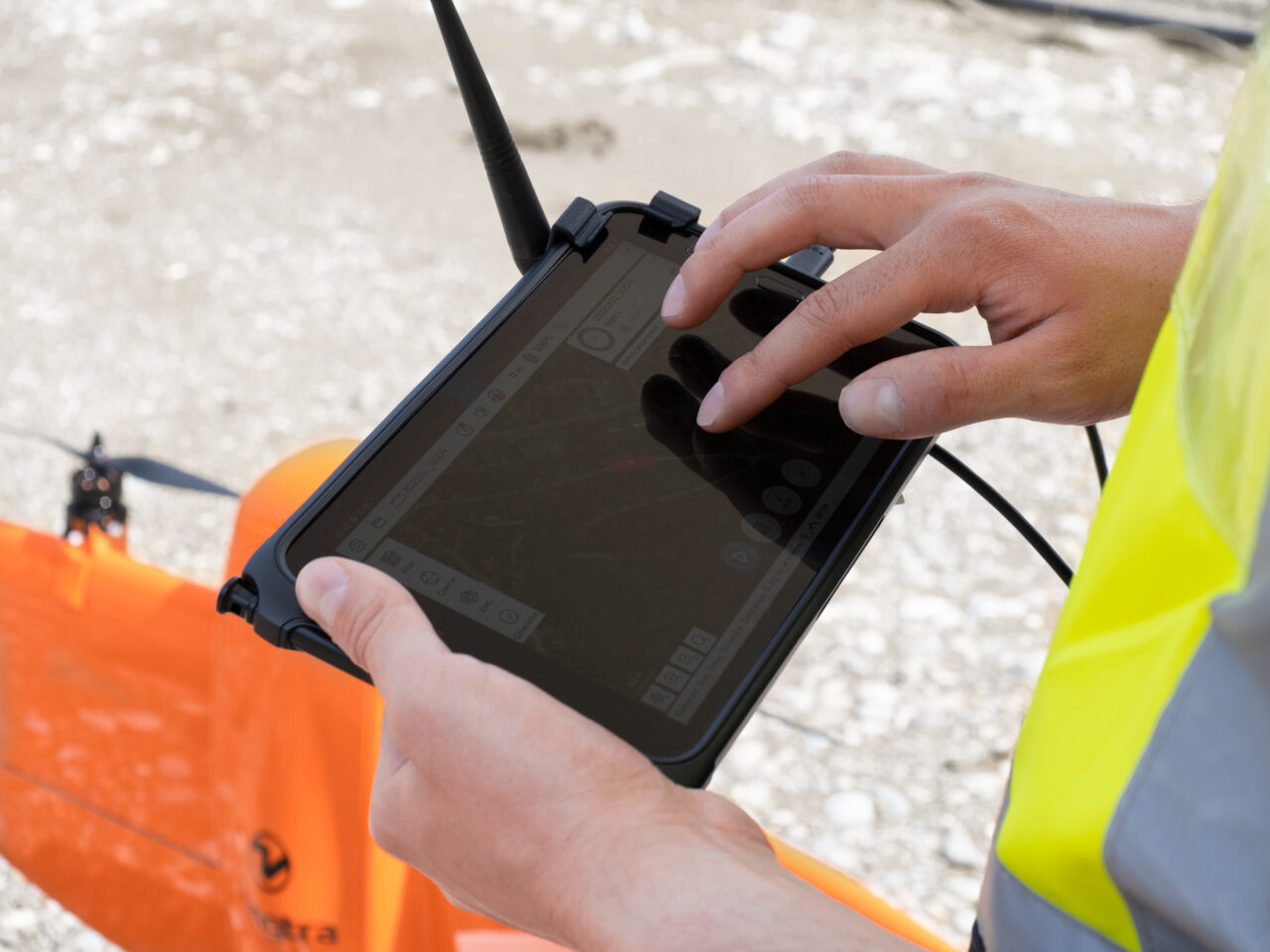
WingtraPilot is a feature-rich, easy-to-use flight planning app, so you can perform successful data collection from day one.
KML import
For a seamless mission, simply import KML files directly from GIS programs. WingtraPilot will construct the optimal flight path to cover the area
Corridor mapping
The feature enables fast, efficient coverage of long, narrow stretches such as roads, pipelines or rivers.
Terrain following
Safe and effective mapping from steady altitudes in even the most mountainous areas thanks to global terrain models or your own custom elevation data.
You can plan your flights not only on your tablet, but also on your Windows PC within WingtraHub.
Pause and resume
At any time during flight, you can either pause and resume the survey mission or prompt the drone to fly back to its take-off location automatically.
Offline maps
No internet connection in the field? No problem. You can always download offline maps in advance while you’re still connected to the internet.
Battery swap and resume
Automatically splits large missions, pausing flight and resuming after the batteries have been swapped.
WingtraPilot – Post-processing
WingtraPilot offers the ability to georeference images of multiple flights at the end of the day to minimize idle time on site.
The results are compatible with all major stitching and analysis tools.
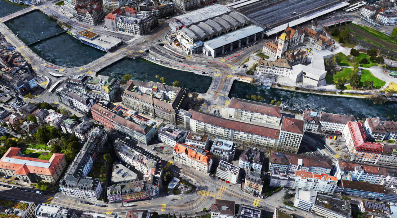
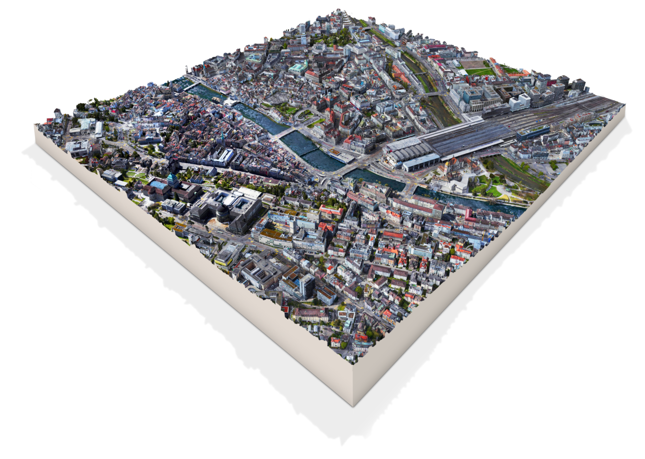
+ Create georeferenced orthomosaics, 3D point clouds & digital elevation models
+ Run volume calculations, display contour & 3D textured models
+ Use both desktop & cloud processing options
Map types & sample data
Download your own sample set
+ Map types
+ Camera comparisons
+ Sample data
+ Quality reports
